
Identification, mapping and monitoring of natural hazards with satellite radar interferometry (InSAR) 
28 September 2026 at the WSL Institute for Snow and Avalanche Research SLF in Davos
Course content
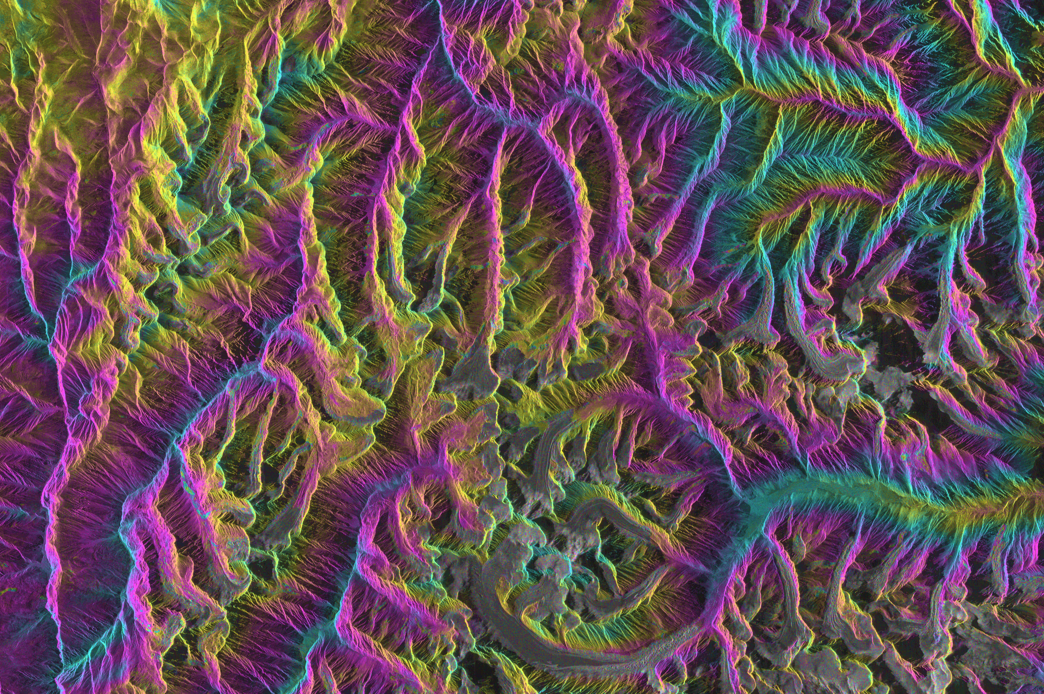
Satellite radar interferometry (InSAR) has become an increasingly powerful tool to detect and monitor ground deformation processes such as landslides, rockfalls, glacier motion, and subsidence. In recent years, the accessibility of satellite data and derived products has significantly improved, providing practitioners with new opportunities to integrate remote-sensing information into their daily work. This workshop aims to bridge the gap between research and practice by offering a compact, application-oriented course designed for professionals involved in natural-hazard mapping, monitoring, and risk management.
Learning goals
Ground principles of satellite radar interferometry (InSAR)
Use of InSAR maps and displacement time series: benefits and limitations
Analysis of InSAR results in GIS environment
Operational use of InSAR results to monitor surface displacement associated to natural hazards
Participants
This workshop is limited to a max. of 20 participants selected from Swiss Federal offices, Cantonal authorities, and professionals from geological/engineering bureaus.
Language
This workshop will be conducted in English. A workshop in German-language is scheduled for May 2027 (Calendar Week 21, exact day to define).
Programme and location
The workshop will be taking place on 28 September 2026 at the WSL Institute for Snow and Avalanche Research SLF in Davos. The detailed programme is currently being prepared and will be available here soon.
Registration
Please send your expression of interest using this form: CERC Workshop. Once your participation is approved, the registration will be finalized through the payment of the course.
Costs
The course fee is CHF 350 and includes course materials, coffee breaks, and lunch.
Accommodation costs are not included and must be arranged and covered by the participants. An overview of accommodation options can be found on the Destination Davos Klosters website: https://ferienshop.davos.ch/en
Organisation
Alpine Remote Sensing research group
Contact
PD Dr Andrea Manconi, e-mail: andrea.manconi(at)slf.ch