
Remote sensing, early detection and early warning 
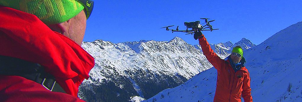
Climate change is having an increasing impact on the Alpine region and the potential for natural hazard processes in the high mountains is rising. However, it is impossible to predict where extreme events will occur, and complete protection of settlements and transport routes is technically and economically impossible. Remote sensing systems on the ground, on drones, aircraft or satellites are increasingly becoming an important tool in natural hazard research. They can be used to accurately document events, continuously record changes, and identify potential "hotspots" at an early stage. The combination of optical and radar remote sensing systems has great potential to increase the level of safety. The center is researching how such systems can be optimally used in the future in high alpine terrain for the documentation, detection and prevention of natural hazards.
More information: Research group Alpine Remote Sensing